
28 May 2026 - Council Business
Chair’s Annual Report 25/26
Report delivered at the Annual Parish Meeting of 21st May 2026

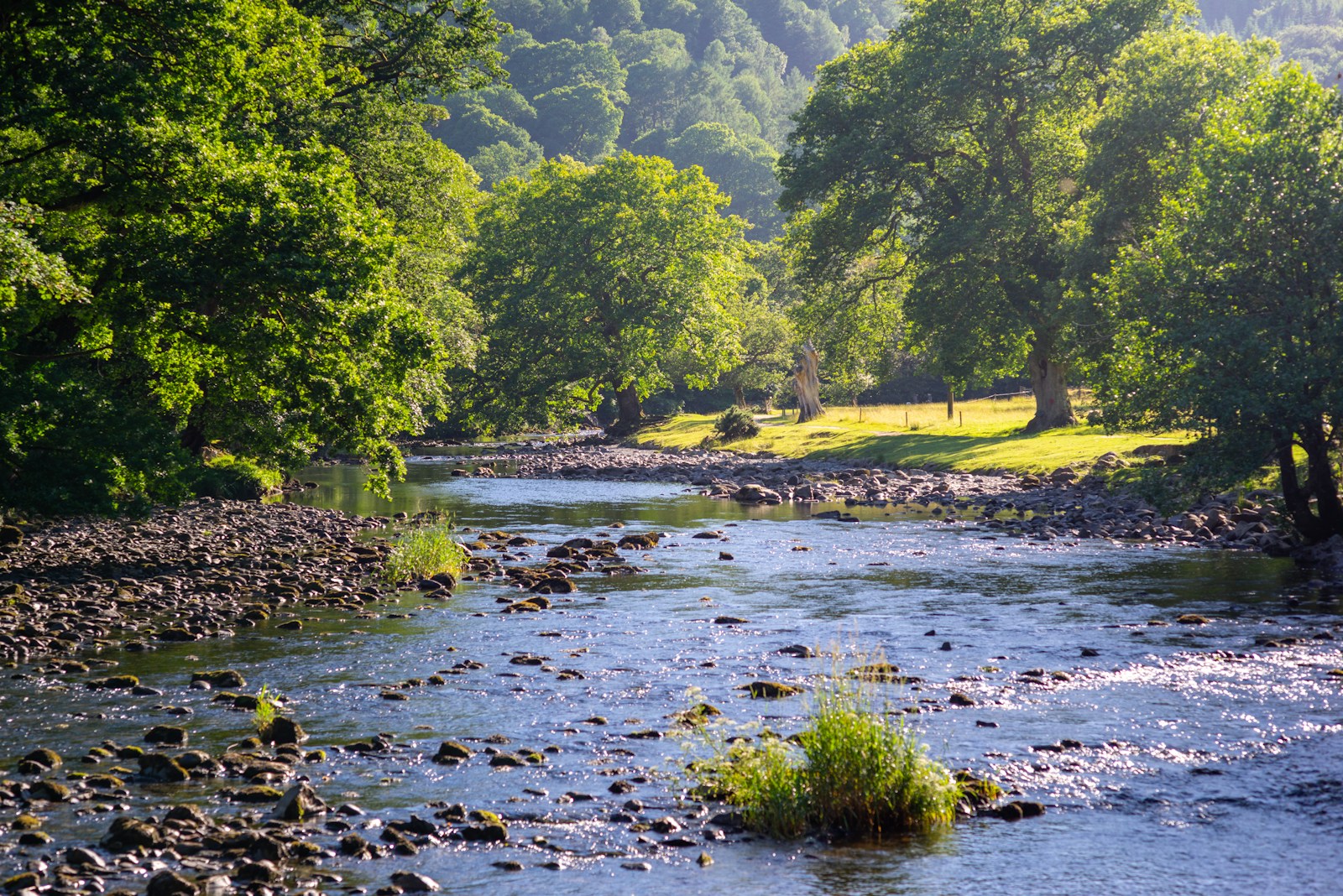
Sitting between Hadrian’s Wall and the river North Tyne, the Village of Wall, at the 2011 census, was home to 458 people. Wall parish is largely bounded by water, stretching west to the North Tyne and north to the Errington Burn. The southern boundary skirts the neighbouring parish of Acomb and heads east to cross the A68 to take in the rather interesting landmark of the Stagshaw radio transmitter mast, before re-crossing the A68 to join the northern boundary.
4 Mithras Court,
Wall,
Hexham,
Northumberland,
NE46 4DJ
There are currently no scheduled meetings
Report delivered at the Annual Parish Meeting of 21st May 2026
For insurance purposes, the Parish Council is required to undertake an inspection of all Parish Trees, every three years.
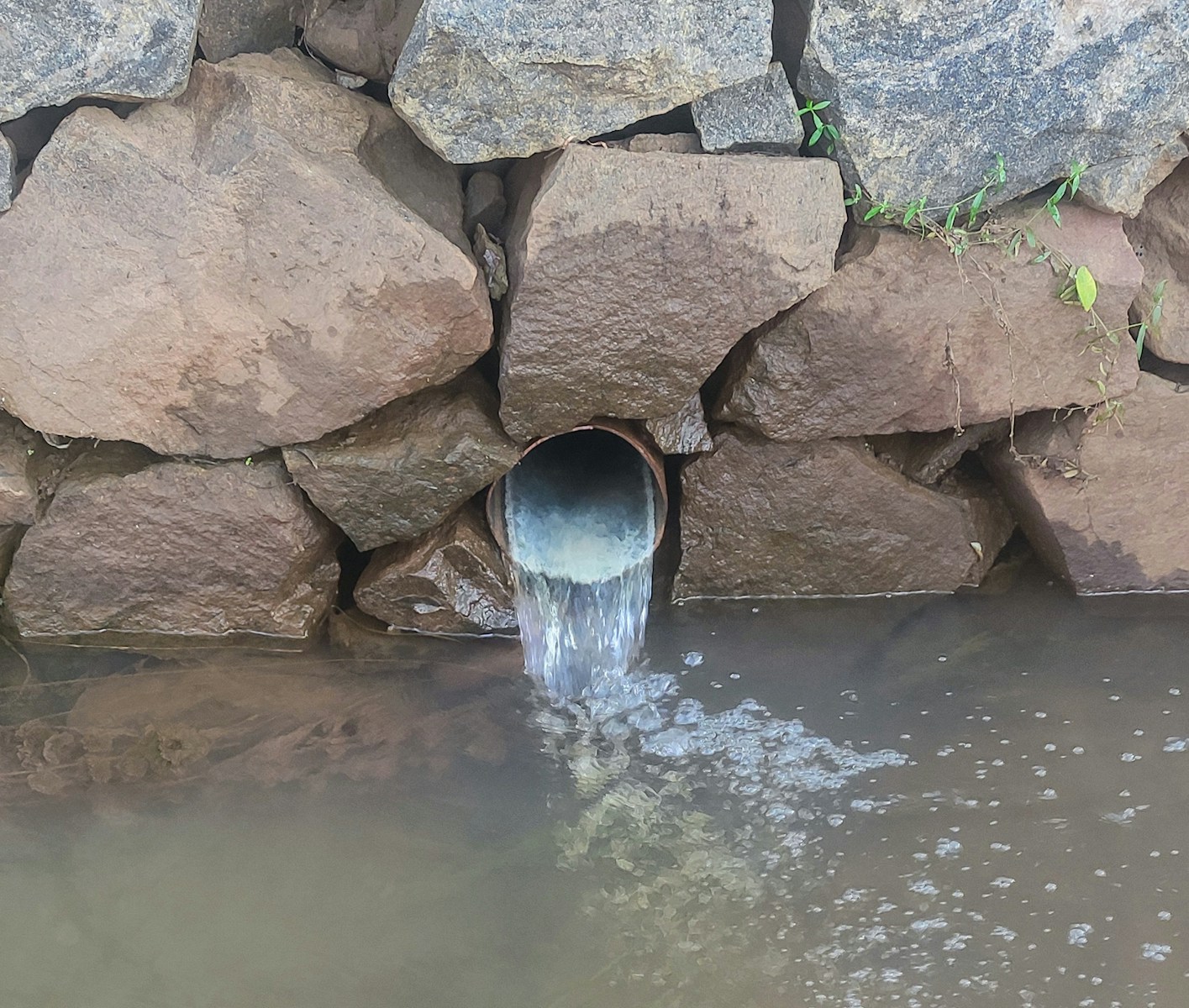
Northumbrian Water attended a public meeting in Wall Village Hall to hear the results of a water quality monitoring project
County Councillor Nick Morphet made an interesting presentation at the council meeting on 20/07/23
See the most recent full council meetings including agendas, minutes and supporting documents
Find documents published by the council, including financial accounts.
Find documents published by the council, including data policies, statutory documents and more.
Discover the services that we provide to residents, as well as signposting to local groups, societies and local events.
Submit issues to the relevant local authority, such as potholes, missed bin collections and more.

County Councillor
Chair
Vice-Chair
Parish Councillor
Parish Councillor
Parish Councillor